- Kategorija: Novosti
CROPOS sustav proširen za pet referentnih stanica
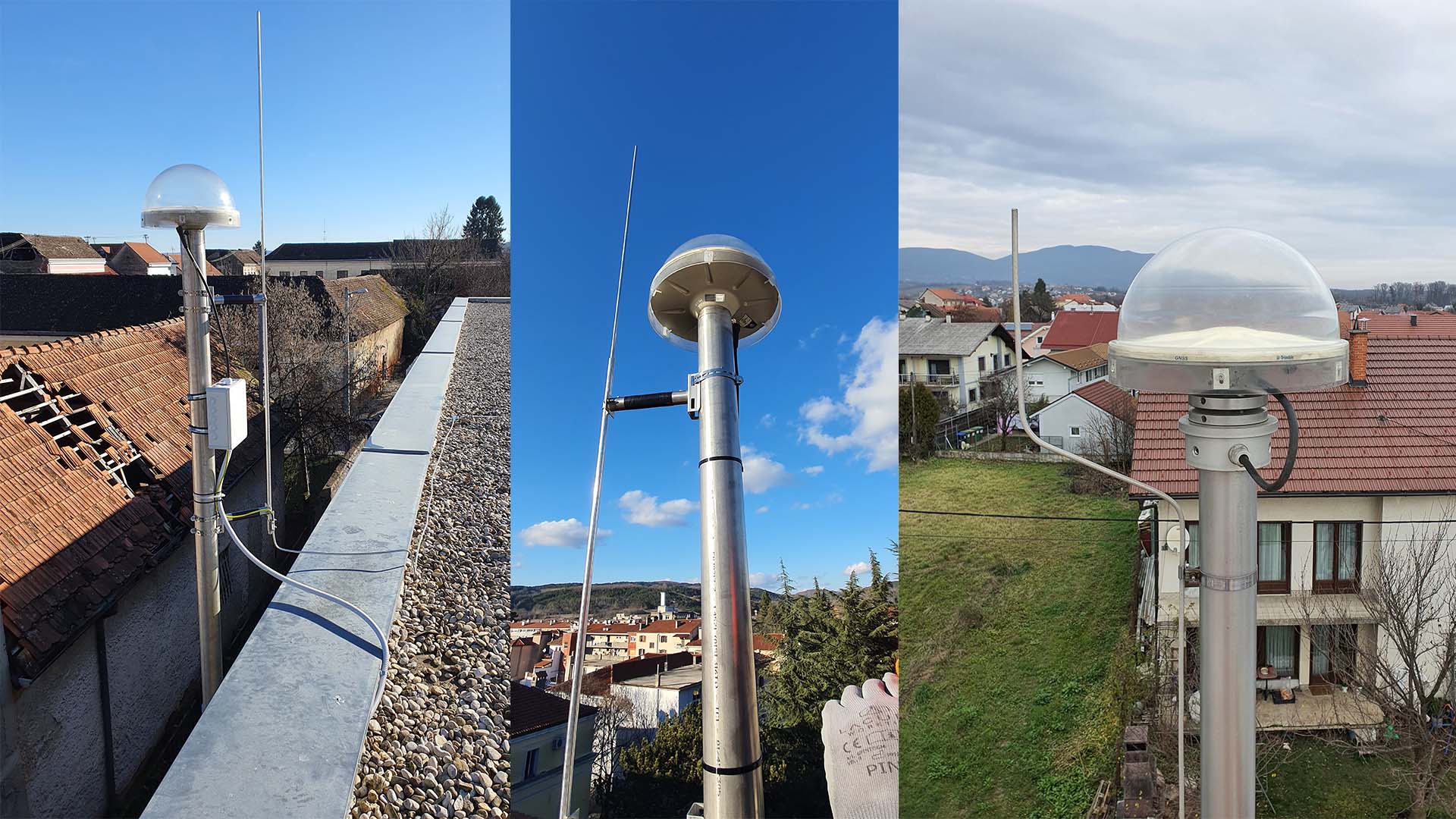
Mreža CROPOS sustava je, u veljači 2023., proširena za dodatnih pet referentnih GNSS stanica. Nove stanice nalaze se u Splitu, Zagrebu, Jastrebarskom, Glini i Pazinu.
Referentna stanica na lokaciji u Zagrebu u vlasništvu je Rudarsko-geološko-naftnog fakulteta Sveučilišta u Zagrebu, te je u sustav CROPOS uključena na temelju Sporazuma o suradnji na području GNSS-a. Također, Sporazumom o suradnji u sustav je uključena i referentna stanica u Splitu čiji je vlasnik Fakultet građevinarstva, arhitekture i geodezije Sveučilišta u Splitu. Ovim uključenjem dodatno je osigurana stabilnost rada sustava u dva najveća grada u Republici Hrvatskoj.